Keep road crews aligned and projects documented in real time.

.png)
.png)
.png)
.png)
.png)
.png)
.png)
.avif)
Comment ça marche
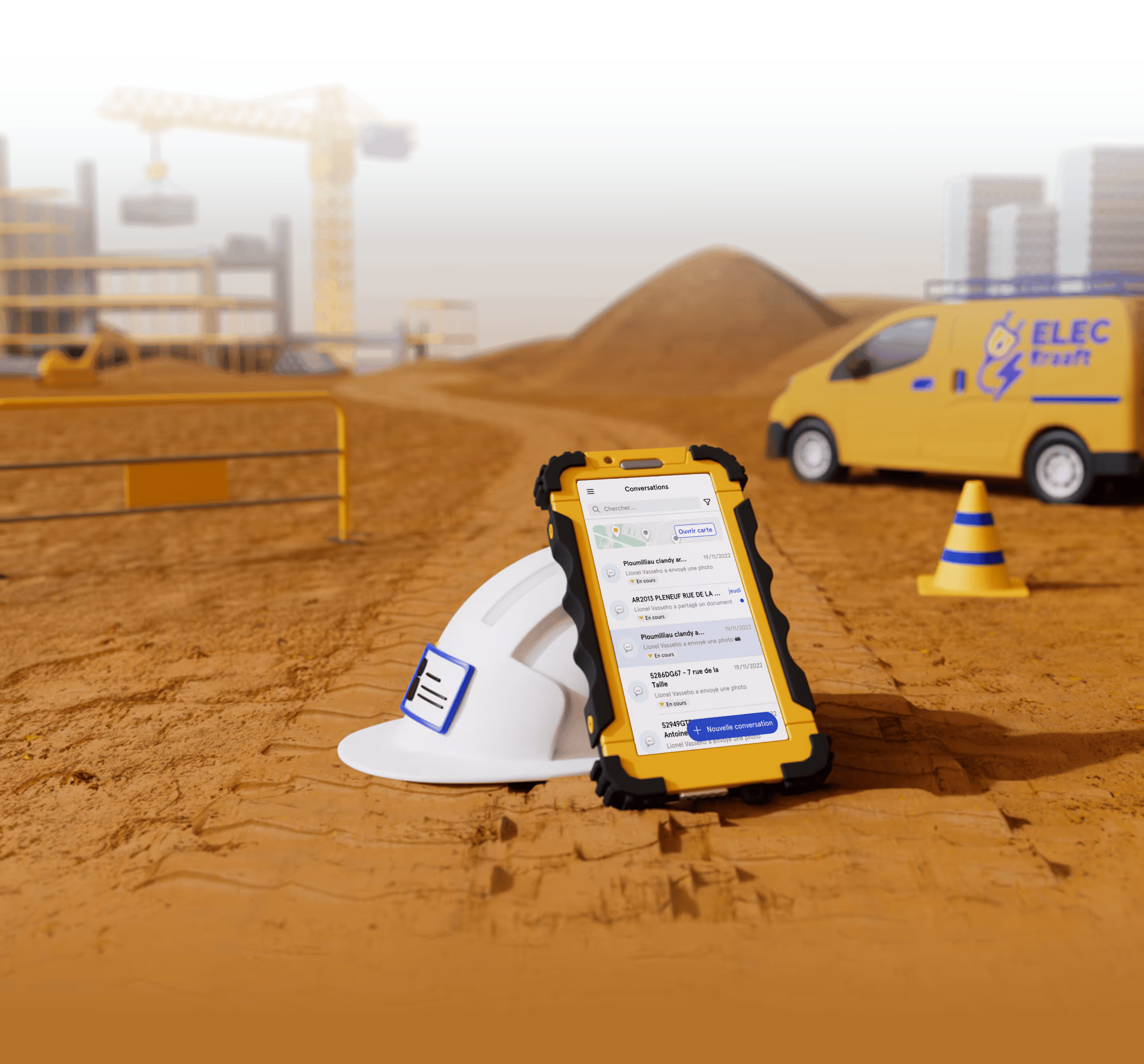
One Project = One Job Chat
Each road segment or paving site gets its own group chat where crews share compaction photos, before/after shots, tonnage tickets, and inspection notes directly as they work. Everything stays organized and traceable in one place, instead of buried in texts or camera rolls.

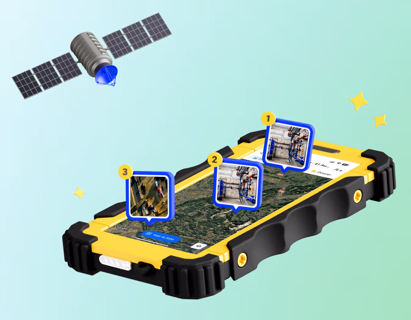
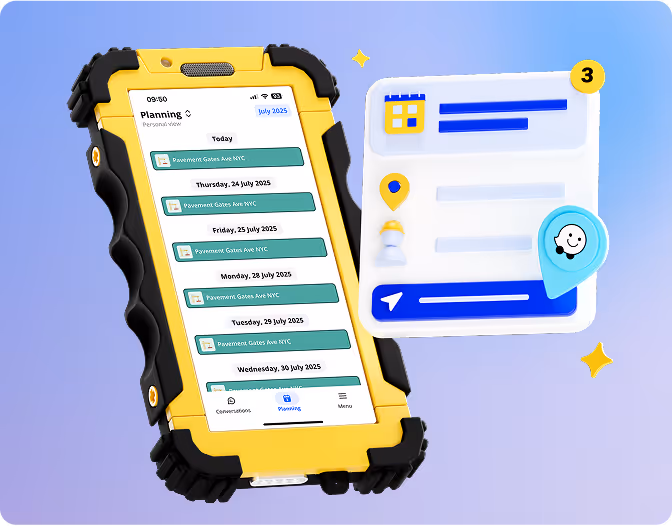
View All Active Work Zones on a Map
Every project is geotagged on your Kraaft satellite map and color-coded by status, making it easy to track multiple crews across a region, show inspectors progress in real time, and quickly pull up past work for reference or warranty calls. No more asking where a crew is — you just open the map.
.gif)
Let AI Organize Field Photos for You
Crews simply take photos in the app, and AI automatically identifies the project location and files each image into the correct job record. No manual uploads, no sorting, no lost segments — everything ends up where it belongs, every time.

Create Reports That Fit Your Workflow
Generate consistent, professional reports for daily progress logs, compaction testing, asphalt tonnage, and change orders directly from field updates. Build your templates once and use them across every job so reports stay uniform, complete, and ready for clients and inspectors.

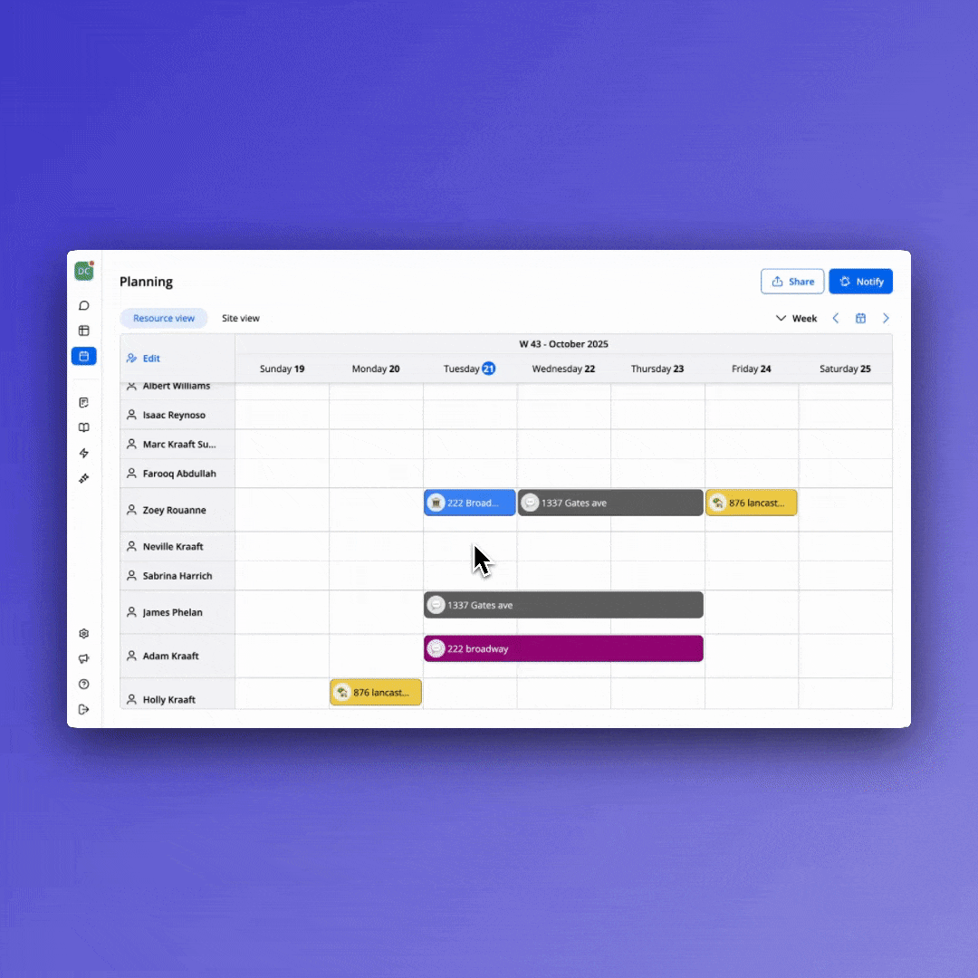
Assign Work and Keep Everyone Aligned
Create clear task lists for foremen, subcontractors, and multi-crew paving days so teams instantly see which job they’re assigned to, where it is, and what today’s scope covers. No morning coordination scramble — everyone starts aligned.


Construit pour le terrain


Réconcilie le terrain
et le bureau