Geotag your photos automatically to find them
.png)
.png)
.png)
.png)
.png)
.png)
.png)
.avif)
How does it work?
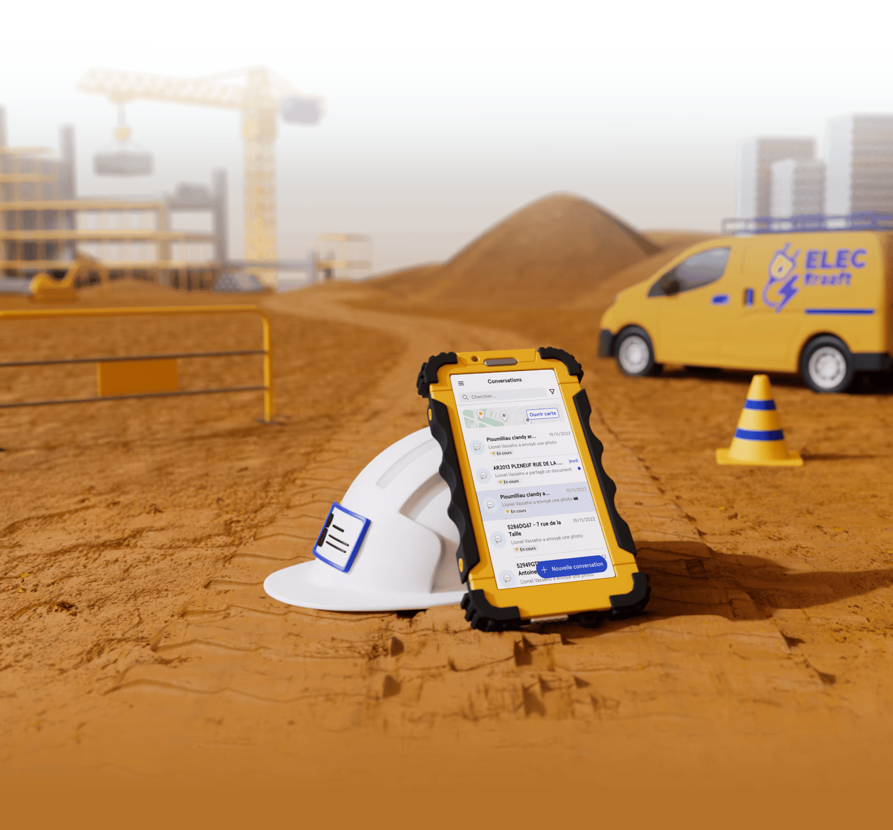
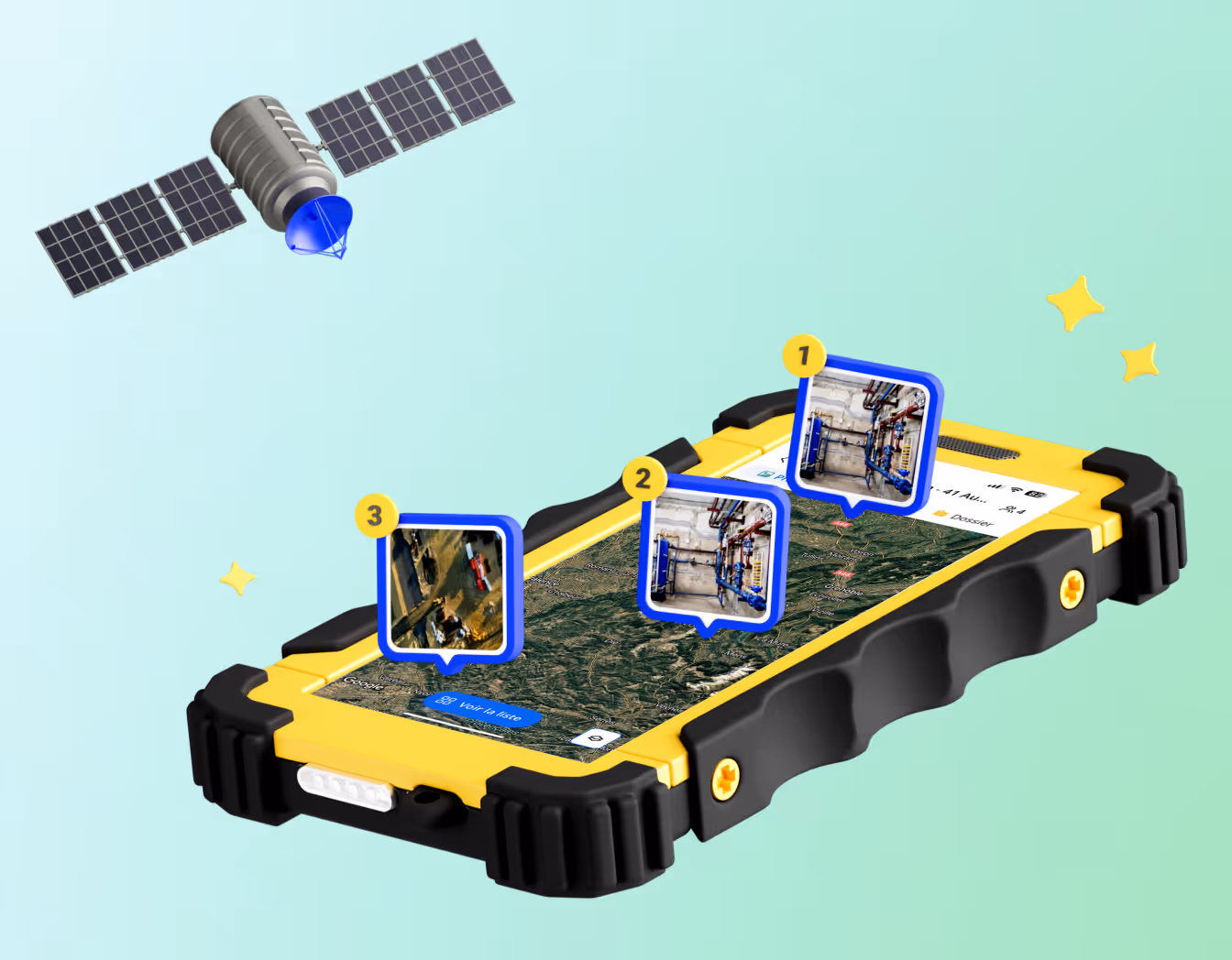
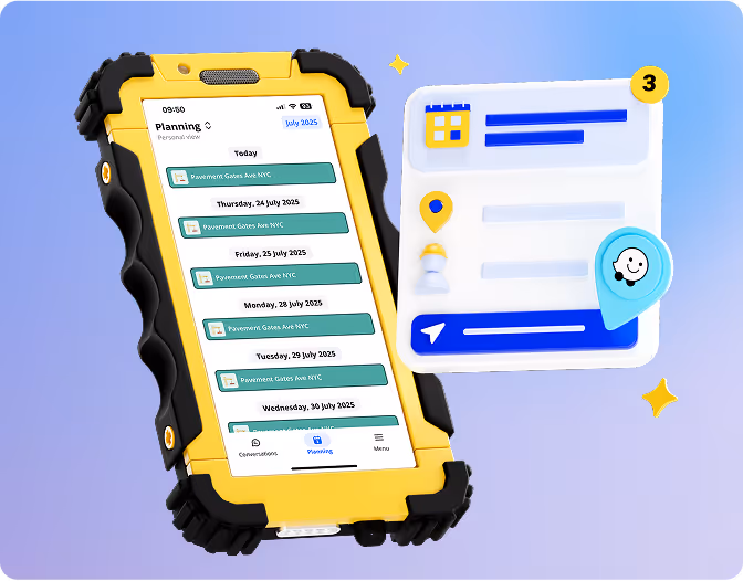
Geotag your photos
You can easily find all your photos on your project’s satellite map! Every time you take a photo with Kraaft, it automatically gets GPS coordinates, so you can use them to locate stuff even months later or re-import them into another app. Super handy, right?

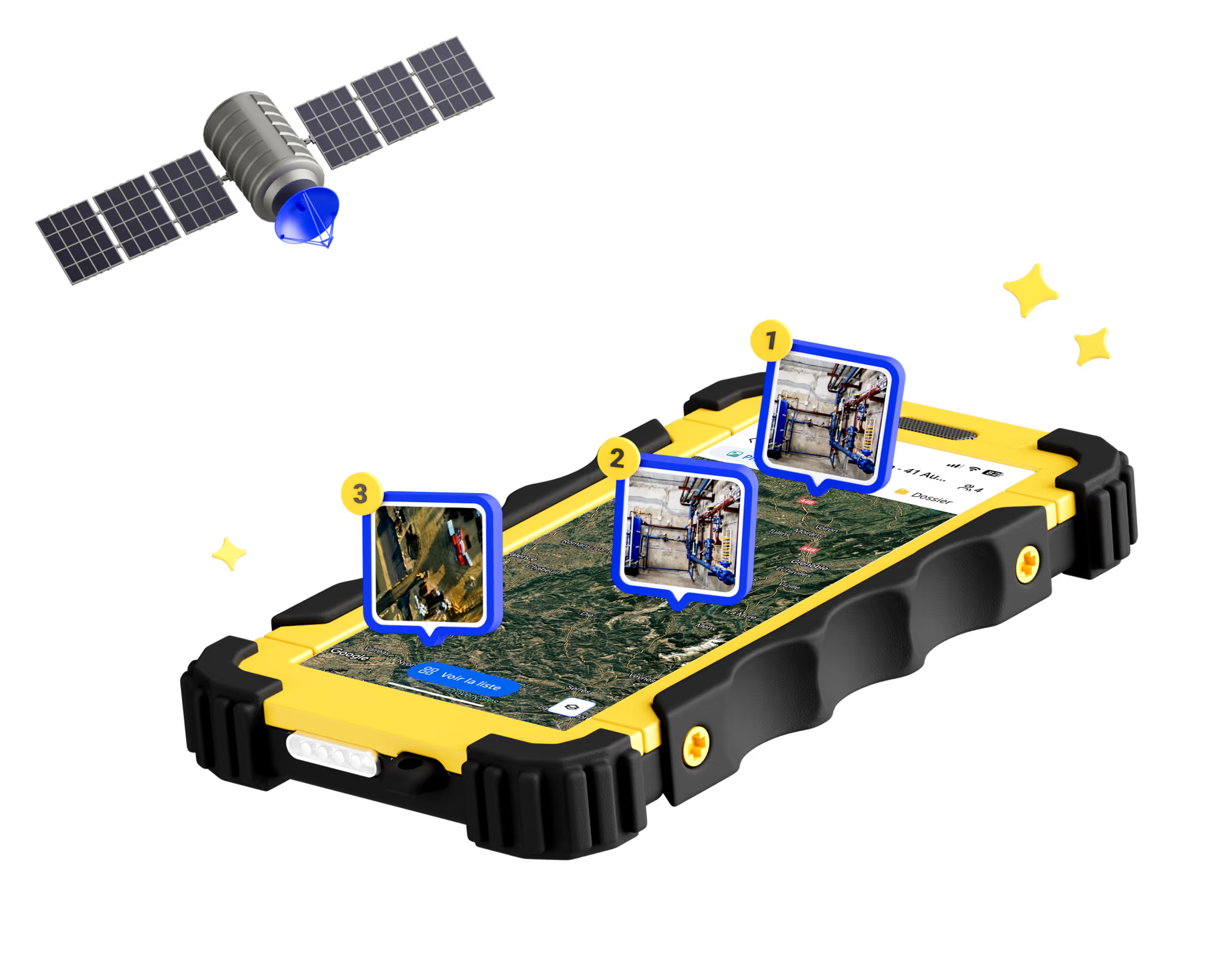
See all your projects on a map
Each project is geotagged on your Kraaft satellite map with color codes — perfect for showing your clients, tracking active jobs, or even looking back at past projects for some feedback.

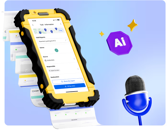
Get directions straight to the jobsite!
Just tap on a project and launch your favourite GPS app (Waze, Google or Apple Maps) to get there! No more copying and pasting addresses, searching for coordinates, or driving around trying to find your site.
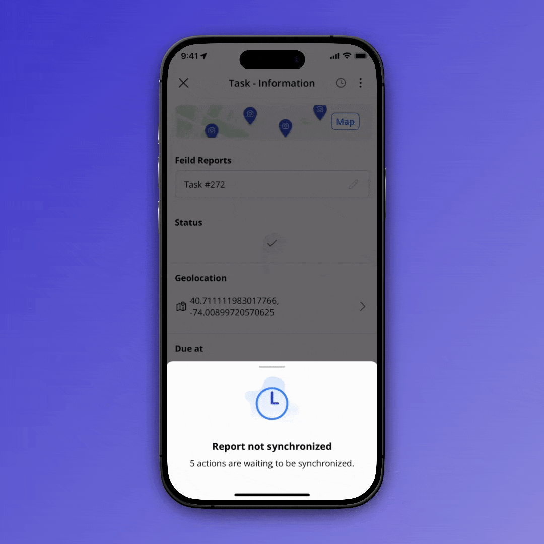
Works offline
Photo and location data are saved even without internet and added to the map once you’re back online. No need to wait for Wi-Fi or leave a dead zone — Kraaft keeps all your data safe and sound!

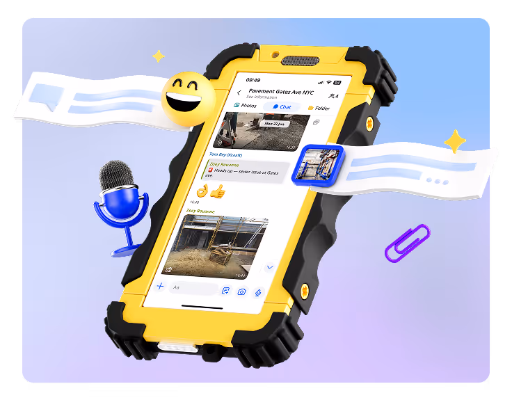


Built for the field

Reconnect the site
and the office